Progress report African region 21 - 2.9. Points of entry, surveillance and geographic information systems

AFRO invested in increasing the Region’s capacity to use integrated hybrid techniques of remote sensing, GPS, GIS, and information management to map the spatial variation of surveillance towards pandemic control and management, to verify the incidence of the disease among social groups and geographic areas, to quantify supply needs, and to gauge distances and distribution times.
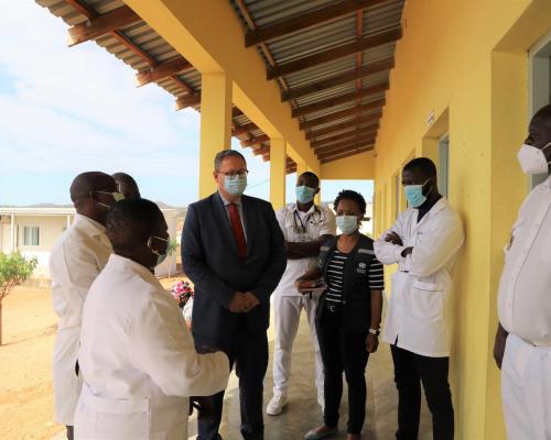
Engaging neighbouring countries to undertake joint strategies for epidemic surveillance and control was a primary goal for WHO-AFR. The WHO AFRO Dakar hub – in partnership with the Economic Community of West African States (ECOWAS) and AFENET and CDC Atlanta – undertook five dialogue sessions and trainings for authorities in cross-border situations in Ghana, Nigeria, Togo, Benin, Senegal, Guinea Bissau, Gambia, Sierra Leone and Mali.
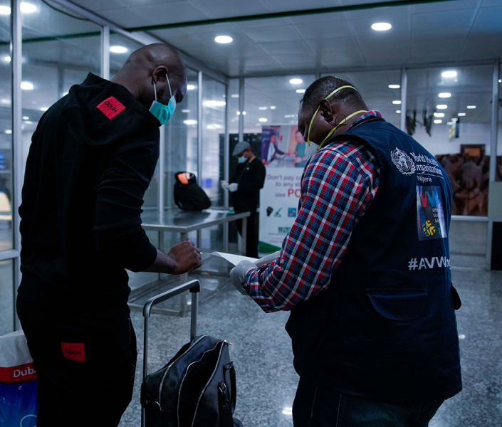
Cross-border surveillance is a key issue in disease management in the African context, primarily because traditional cross-border migration implies cultural or seasonal population movements, which may have no relationship with national boundaries or official borders. Utilizing the recent experience with Ebola virus disease, the enhanced dialogue during the past semester served to reinforce information and messaging, and harmonize practices, such as acceptance of PCR or antigen tests, procedures, and practices for officers at points of entry, contact tracing, and information to focal points. In addition, WHO engaged with organizations such as the Food and Agriculture Organization of the United Nations (FAO) to ensure transhumance groups – seasonal migration of pastoral communities – were mobilized about both human and animal health and safety measures, to avoid a spillover human to animal effect, which could further compromise food security.


